


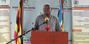


The Ministry of Energy and Mineral Development, through the Geological Survey Department (GSD), in collaboration with the PanAfGeo+ Uganda Country Window Project, has commenced detailed geological mapping of the Bukusu and Bududa Carbonatite Complexes in Eastern Uganda.
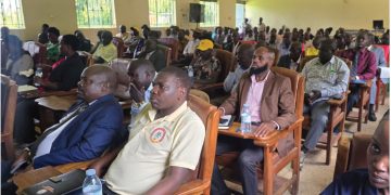
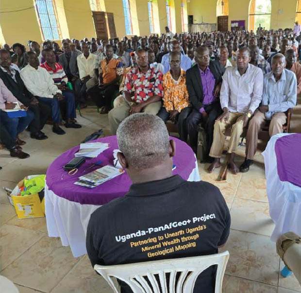
The exercise follows a successful community sensitisation campaign conducted in Bududa, Manafwa and Mbale districts to prepare local communities for the field activities.
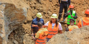
Upon arrival in Uganda, the PanAfGeo+ technical team joined Ministry geologists and commenced fieldwork on 6 May 2026.
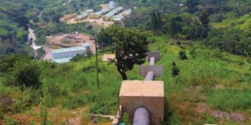
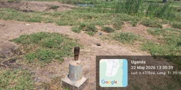
As part of the mapping exercise, the team visited the Namekhara Vermiculite Mine, where geologists examined rock formations, mineral occurrences and geological structures to better understand the area’s mineral potential.
The team also collected rock samples and documented geological features that will contribute to the preparation of detailed geological maps.
The mapping programme aims to generate critical geoscientific data to support mineral exploration, resource assessment and sustainable development of Uganda’s mineral sector. Community engagement activities are continuing alongside the technical work to ensure local participation and awareness throughout the project.
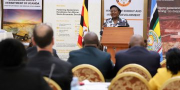
The initiative forms part of broader efforts to strengthen geological knowledge and unlock investment opportunities within Uganda’s mineral-rich regions. https://www.spyuganda.com/MEMD-steers-bold-mineralsector-reforms-as-two-dayhigh-level-consultativeworkshop-closes-atspekeresort-munyonyo/

